top of page
Rock Map - Visualization.png

Farm Field Rock Maps

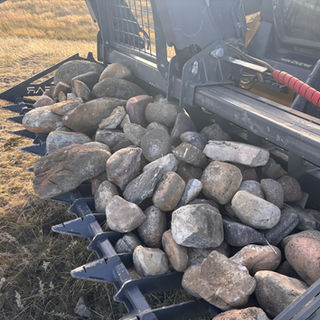
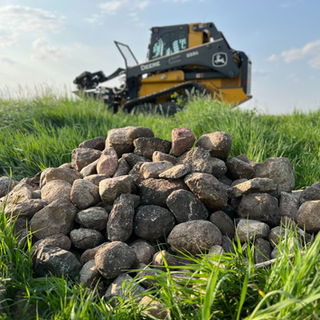
Prop Logic can actually use drones to scan farm fields for rocks that could damage your equipment. Using some fancy software, we can map out these rocks to streamline the process of clearing the field of these troublesome rocks. 

Experienced | FAA Certified | Insured

Prop Logic Media LLC

Based in the Central Ohio Area | nate@proplogicllc.com | Tel: (614) 321-7879

© 2023 by Event Horizon. Proudly created with Wix.com

  • Instagram
  • YouTube

Note:

Prop Logic Does not employ surveyors, nor do we offer survey services independently. We offer aerial lidar scanning as a UAV flight services provider. For official surveying services such as measurements, property line mapping, volumetrics, and certified accuracy from the scans we would need to work for a licensed surveyor. 

bottom of page